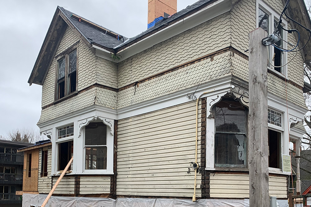
Assisting with the conversion of a heritage house in Victoria into 5-unit strata building. Polaris completed boundary and site surveys as well as the laser scanner survey to derive new strata lots boundaries, preparation and registration strata plans.
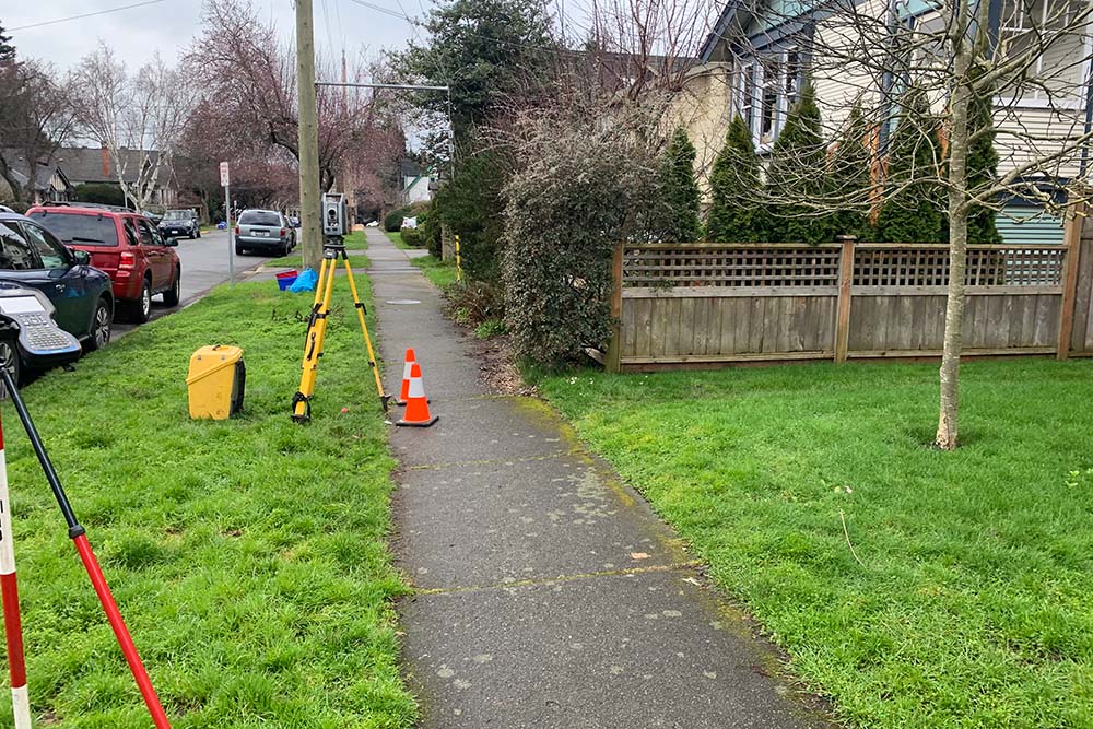
Topographic survey to assist the owner with a garden suite construction. We provided drawings to be included with the building permit application package and to assist with the new design. Polaris completed over 1000 site plans throughout entire Greater Victoria area, familiar with the requirements of all the municipalities and ready to assist with your new construction or renovation project.
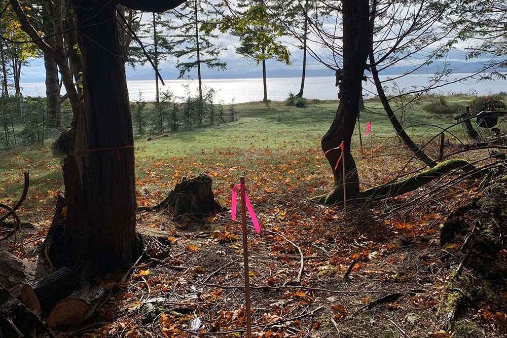
Boundary marking for the residential property on a remote island near Saanich Peninsula. This property survey was for the fence construction and future design purposes. Polaris routinely performs such boundary surveys and assists owners with determining their property lines through out Greater Victoria area.
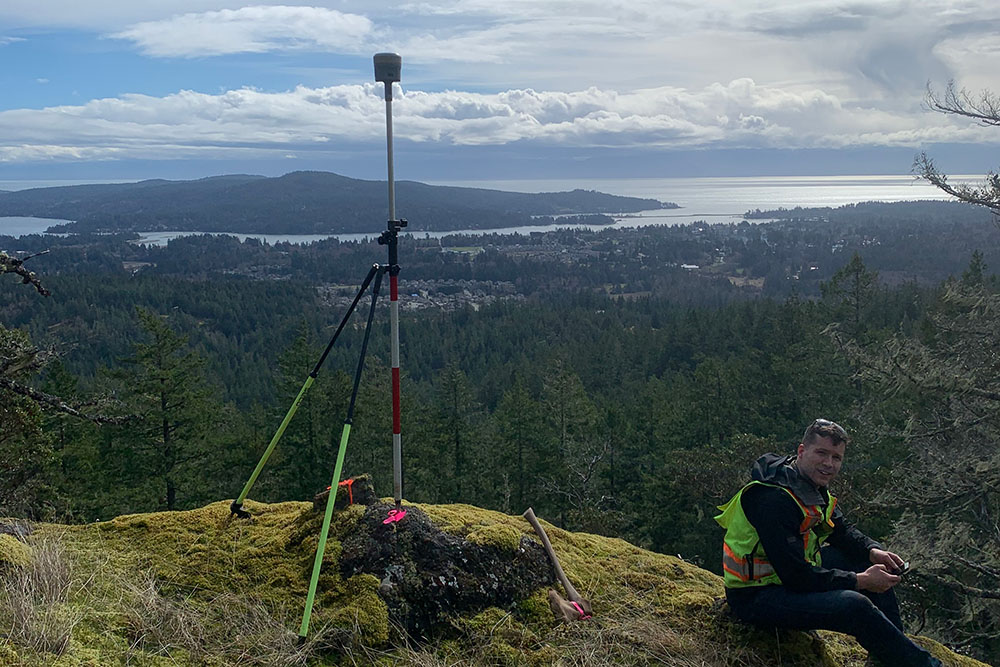
Boundary retracement survey of a large area through rugged terrain that consisted of GNSS and conventional survey, searches for original section evidence and complex boundary resolution. Polaris also assisted with subdivision process and new lot layout.
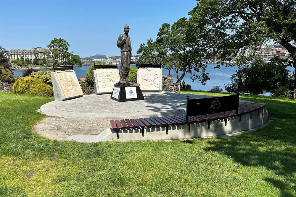
Layout and consulting services for the construction of this new prominent feature at Laurel Point. Polaris ensured the accurate location of the statue relative to the existing features.
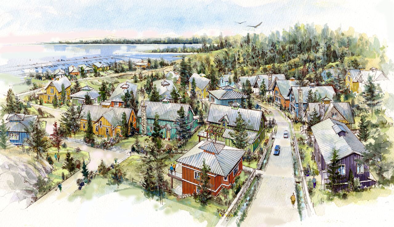
We have been involved in this project since its inception, working with the developer, the Trust for Sustainable Development and the Scia’new First Nation. Planning began with integrating LiDAR and conventional survey data to create a base plan. This base plan was used for designing master lease and sublease parcels, building locations and elevations, amenities such as boardwalks and viewing platforms, determining depths and volumes of rock to be removed and assessing potential cell tower coverage. As design became reality, we completed the initial legal surveying, including 39 hectares of master lease parcels, 61 sub-lease parcels and 2.5 kilometers of natural boundary. Since then a total of over 200 sub-lease parcels have been created.
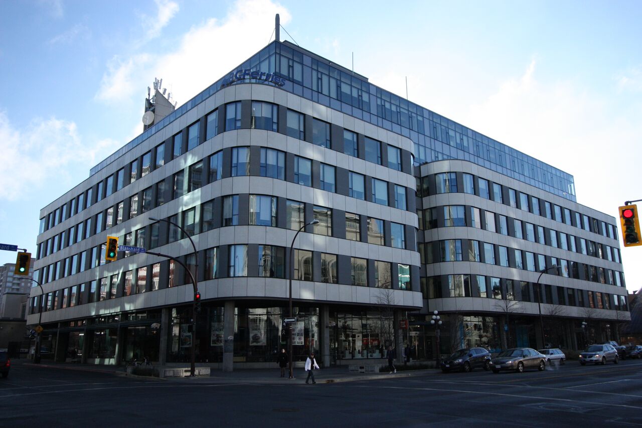
Polaris was involved in many different aspects of this development on Yates Street. In the beginning we conducted a site survey and provided support for the design and construction of the building in downtown Victoria. This included preparation of a subdivision plan to consolidate the subject lands, a site survey and layout of construction control. As construction progressed we also prepared volumetric easement and right of way plans and provided control points for the placement of glass curtain walls and the construction of intricate floor tiles.
Polaris began supporting BC Housing on this re-development project in 2022 with a detailed topographic survey of the 6 hectare site and surrounding roads. The survey was completed through a combination of terrestrial laser scanning to measure the features near the ground, and airborne laser scanning (drone LiDAR) to measure higher elevation features, such as building roofs and tree tops. As the project moves in to the next levels of design, we are providing development consultation and legal surveys for subdivision.
In the summer and fall of 2024, Polaris completed a detailed topographic survey of the Legislature buildings, surrounding grounds, and adjacent roads. This data was obtained through 3D laser scanning (LiDAR) and GNSS observations. All road works were coordinated with a third party locate company and a traffic control company, so that underground utilities could accurately and safely be located. From the scan data we determined topographic features such as tree canopies and root crowns, ornamental structures like statues and totem poles, and details of the intricate brickwork on the buildings.
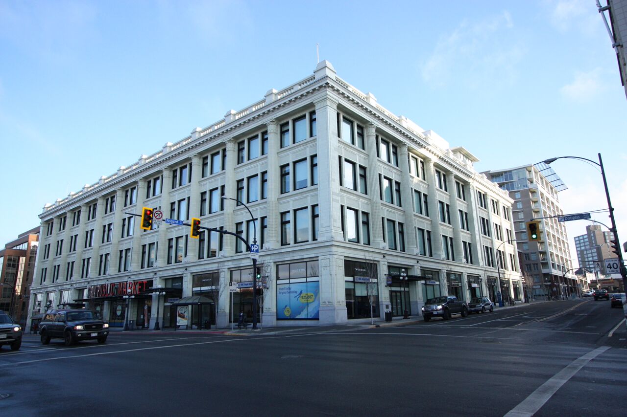
After the historic Hudson’s Bay building was purchased by Townline Properties, we joined the team responsible for renovating the building to create modern commercial and residential units. We measured the exterior and interior of the building in order to prepare an air space subdivision, which separated ownership for the commercial and residential areas. Within the residential area, we prepared a building conversion strata, creating 152 strata lots. Over the subsequent 16 years we provided support for the five new buildings that were constructed within the District. This included construction layout, air space subdivisions, strata plans, commercial BOMA lease plans, and unit measurements of rental apartments.