An example of boundary re-establishment

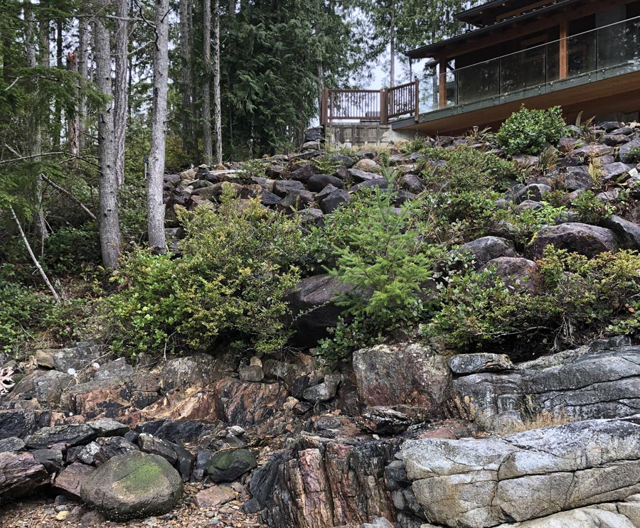
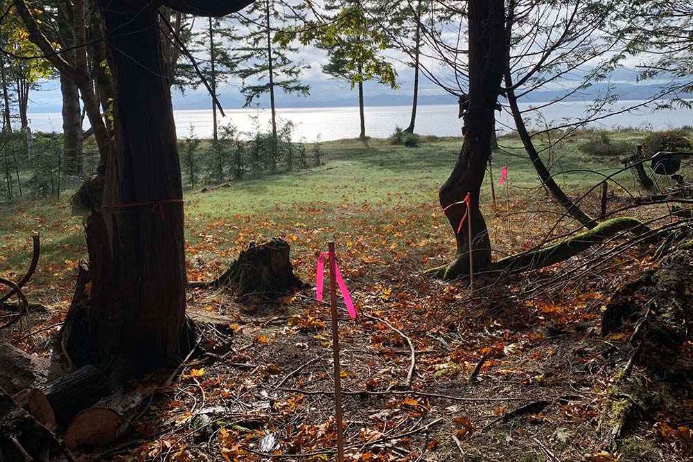
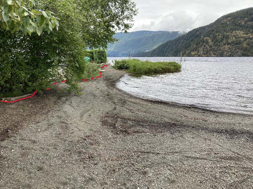
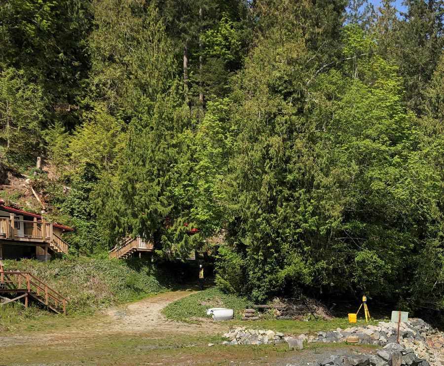
Boundary Re-establishment

Polaris Land Surveying was engaged to mark the boundary where the legal lot corners were not in place. Surveys and professional boundary determinations were performed and as a record of the boundary re-establishment a plan was submitted with Land Titles. A retaining wall and fence were then constructed on the boundary.

Infill subdivision project

Infill Subdivision Project

A larger residential lot was subdivided. Polaris Land Surveying took on the role of agent for the homeowner and worked through the application process through to registration with Land Titles. Subsequent services were provided related to the new home constructed on the newly created residential lot.

Beausejour Subdivision

Polaris Land Surveying has provided services related to subdivision planning and application work through to the subdivision and construction of homes since 2017 on this multi-phased development.

An old home in Fernwood, Victoria

Fernwood Strata Conversion

Assisting with the conversion of a heritage house in Victoria into 5-unit strata building. Polaris completed boundary and site surveys as well as the laser scanner survey to derive new strata lots boundaries, preparation and registration strata plans.

surveying on a residential street in Fairfield

Fairfield Site Plan

Topographic survey to assist the owner with a garden suite construction. We provided drawings to be included with the building permit application package and to assist with the new design. Polaris completed over 1000 site plans throughout entire Greater Victoria area, familiar with the requirements of all the municipalities and ready to assist with your new construction or renovation project.

Boundary marking on Sidney Island

Sidney Island – Boundary marking

Boundary marking for the residential property on a remote island near Saanich Peninsula. This property survey was for the fence construction and future design purposes. Polaris routinely performs such boundary surveys and assists owners with determining their property lines through out Greater Victoria area.

Enjoying the view on Phillips Road

Phillips Road – Subdivision + Boundary retracement

Boundary retracement survey of a large area through rugged terrain that consisted of GNSS and conventional survey, searches for original section evidence and complex boundary resolution. Polaris also assisted with subdivision process and new lot layout.

Finished project of the Lebanese Emigrant Statue

The Lebanese Emigrant Statue Layout

Layout and consulting services for the construction of this new prominent feature at Laurel Point. Polaris ensured the accurate location of the statue relative to the existing features.

Work on Honeymoon Bay Resort

Honeymoon Bay Resort

Consolidation of multiple Lots and Resolving the natural boundaries of Sutton Creek and Cowichan Lake for a large recreational property in the Cowichan Valley. Involved complex boundary retracements dating back to the early 1900s and working with the Surveyor General of BC to obtain approvals on the locations of the natural boundaries for the creek and lake.