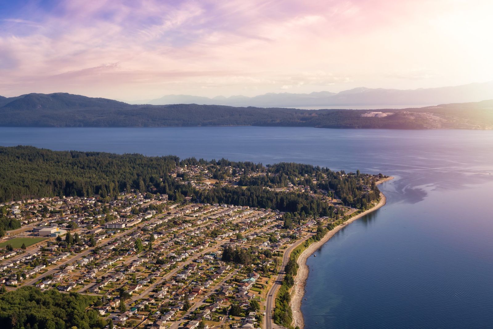
Powell River land surveying


Land Surveying Services in Powell River, Texada Island, and Savary Island
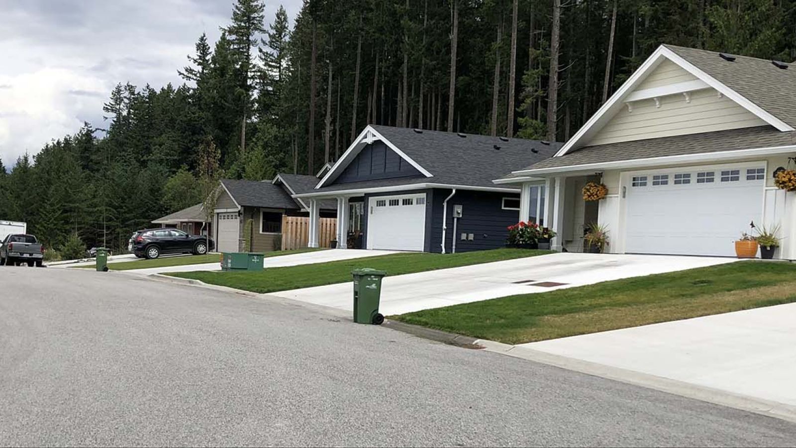
 Subdivisions
Are you considering a subdivision of your land? Subdividing land can be complex.
Polaris will not only carry out your subdivision survey in Powell River but can assist with the application work as well. Land use regulations, costs, and requirements may affect the process. Our Powell River team has years of experience navigating subdivision applications in British Columbia, including on Savary Island, Texada Island, and in Lund.
Building and bare land strata
projects
projects
Strata developments in Powell River? Polaris Land Surveying handles both building and condominium strata as well as bare land strata projects.
Let our team of expert land surveyors handle preliminary and final strata plans. Polaris will prepare supporting strata documentation, including Schedules of Unit Entitlement (Form V), as well as strata plan amendments and subdivision of strata lands.
Boundary retracement and
re-establishment surveys
re-establishment surveys
Do you need a boundary retracement or re-establishment survey of your land in Powell River?
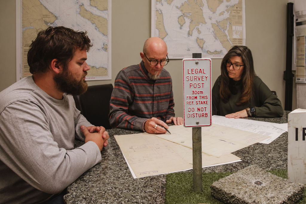
Our Polaris team of professional land surveyors will research public and private records of your property. We will study documentation related to the property and surrounding properties, and evaluate any previous surveys performed to arrive at a proper resolution of your property boundaries. Contact our team today for more information.
Topographic and site plans
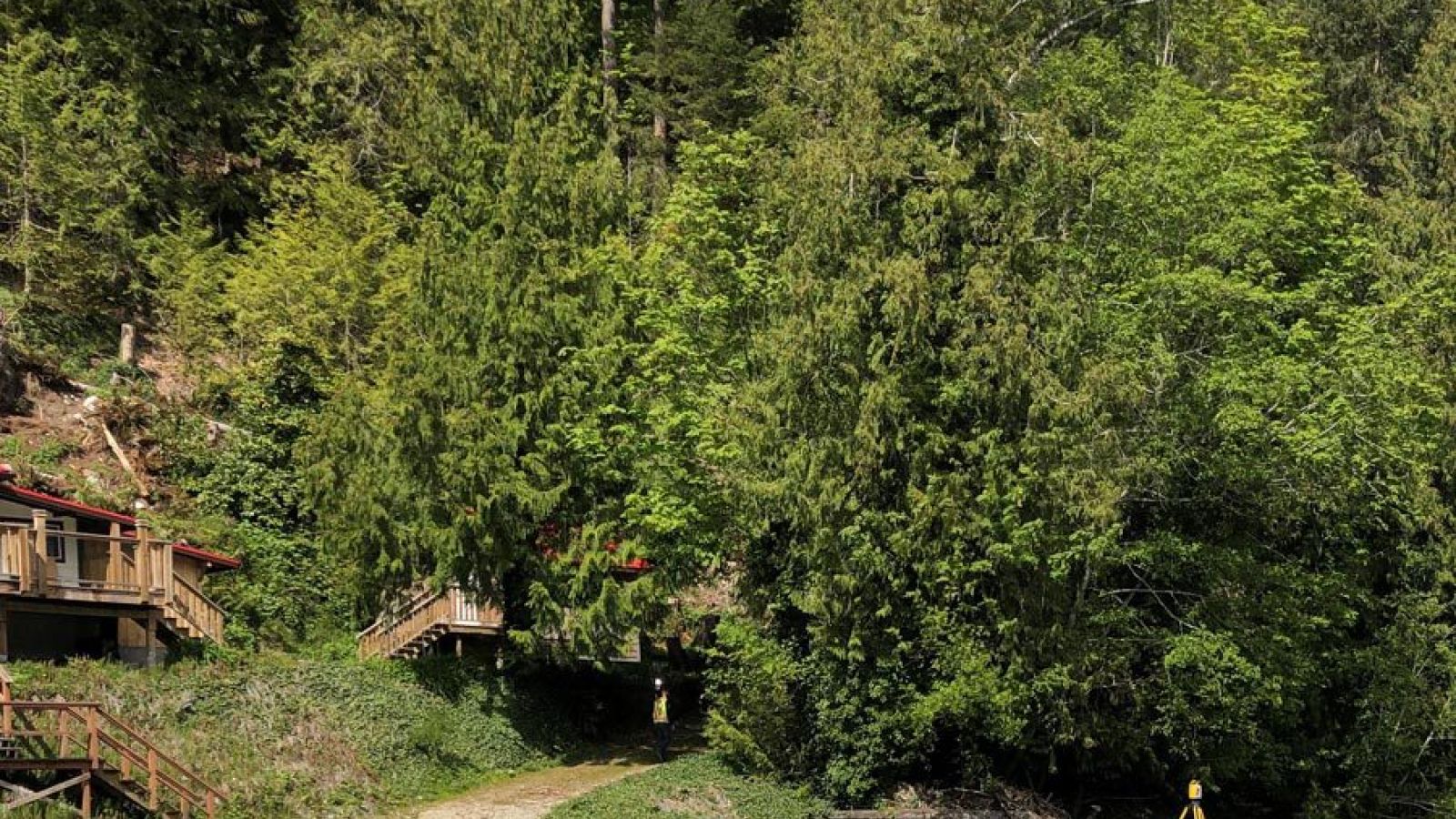
Development projects of all sizes require detailed mapping of the Earth’s surfaces and objects.
From a backyard garden project to a new subdivision, topographical surveys are essential to effective site planning. Using the most current survey equipment and methodologies with both conventional and aerial techniques, we plot and process data to develop mapping of natural elements and man-made structures.
Contact Polaris today for your accurate, reliable topographic survey in Powell River or nearby regions like Lund, Texada Island, and Savary Island.
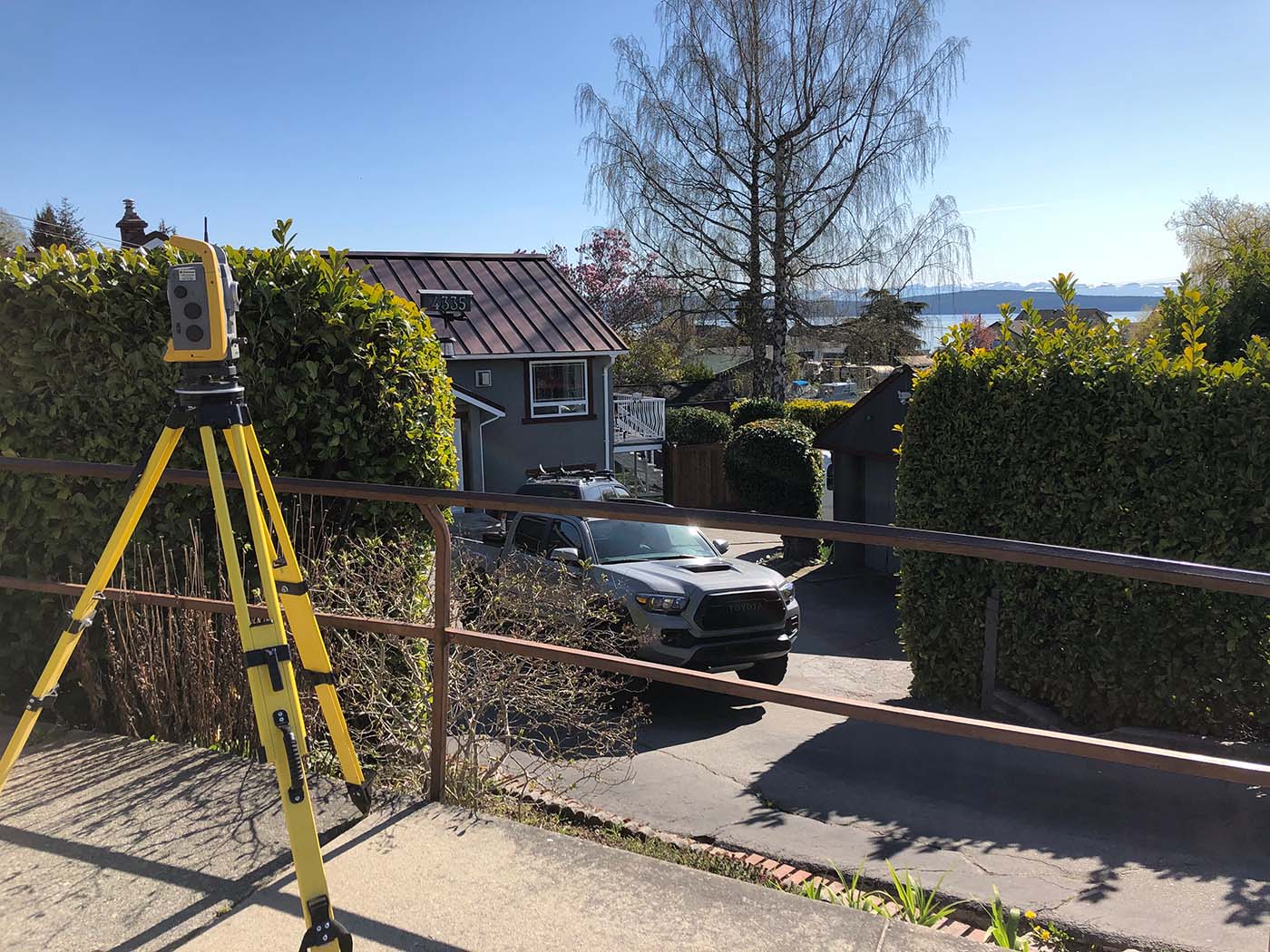
Construction layout surveys
If you’re developing a new project in Powell River or on the Sunshine Coast, allow Polaris to conduct a precise construction survey before construction.
Ensure your new building is located according to requirements. Our land surveyors will outline new building elevations and exact layouts of grid and wall lines relative to property lines. Using leading-edge field equipment and technology, our team provides construction layout services with expert precision.
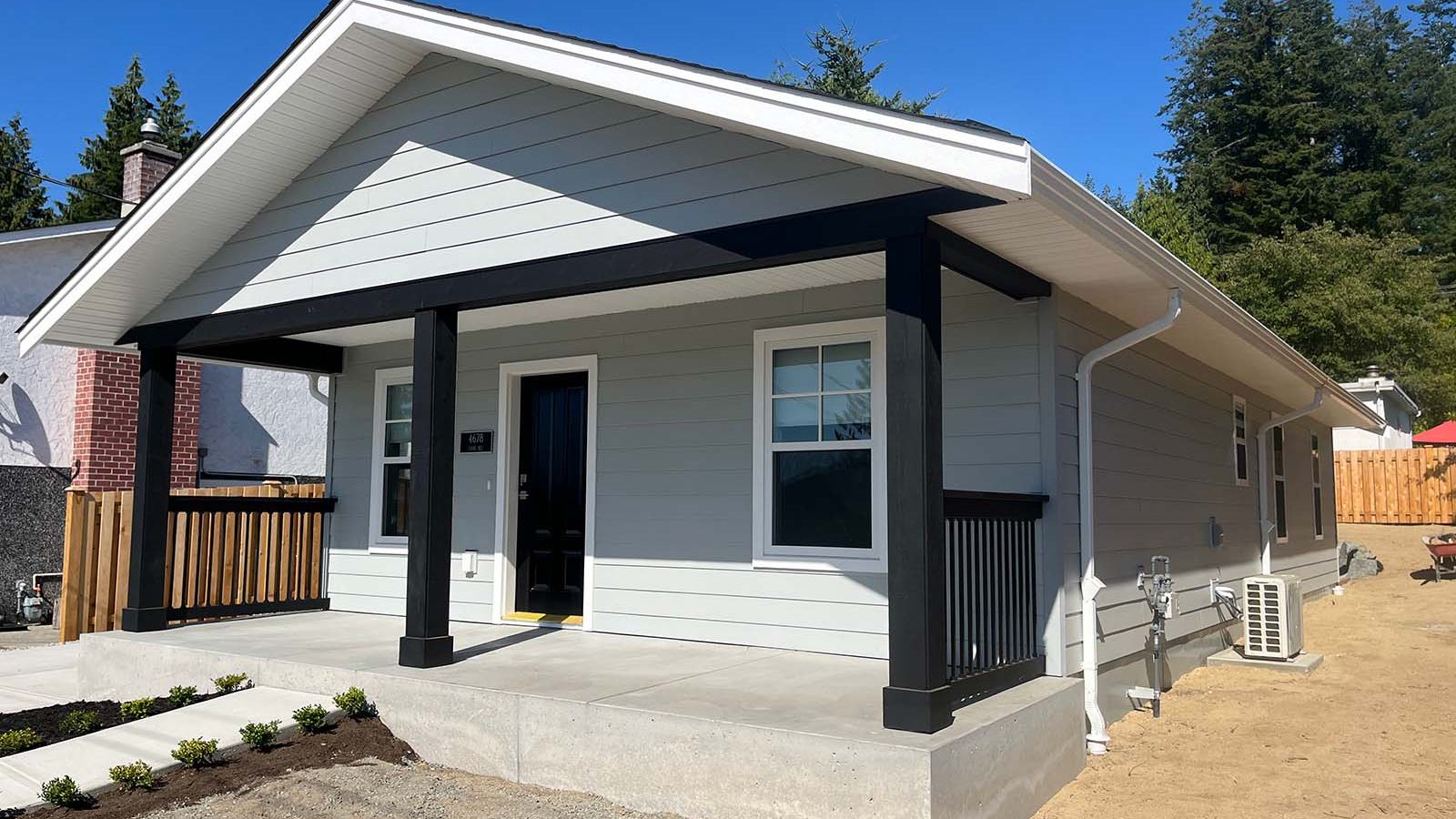
Building Location Certificates
Building Location Certificates, or Mortgage Certificates, are certified plans showing locations of structures or features often required by banks or permitting authorities.
These certificates outline the lot, structures, rights-of-way, easements, covenants, and any encroachments. Our Powell River land surveyor team will research existing plans and conduct detailed fieldwork using the latest equipment. Location certificates are typically prepared digitally and can be plotted or printed to scale.
Notable projects