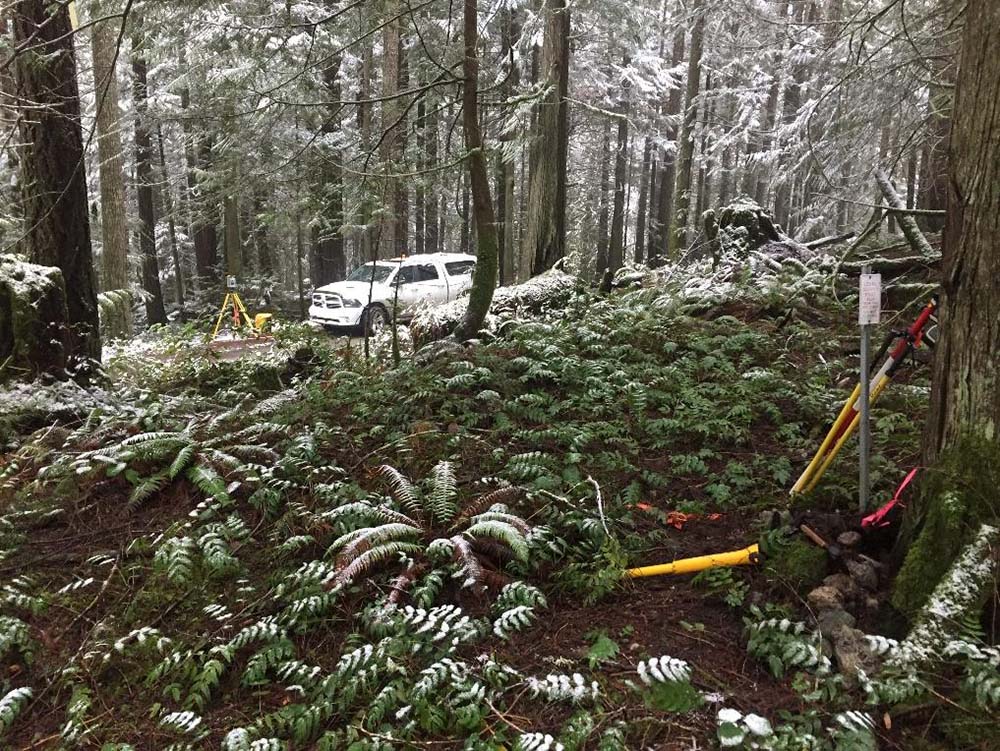
Subdivision survey of 160 acre parcel along the Koksilah River and Riverside Road. Involved a complex survey of and old Gazetted Road over mountainous terrain. Polaris assisted with the legal survey, subdivision approval and road dedication with the CVRD and Province of BC.
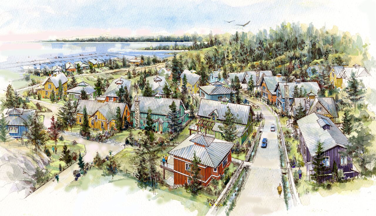
We have been involved in this project since its inception, working with the developer, the Trust for Sustainable Development and the Scia’new First Nation. Planning began with integrating LiDAR and conventional survey data to create a base plan. This base plan was used for designing master lease and sublease parcels, building locations and elevations, amenities such as boardwalks and viewing platforms, determining depths and volumes of rock to be removed and assessing potential cell tower coverage. As design became reality, we completed the initial legal surveying, including 39 hectares of master lease parcels, 61 sub-lease parcels and 2.5 kilometers of natural boundary. Since then a total of over 200 sub-lease parcels have been created.
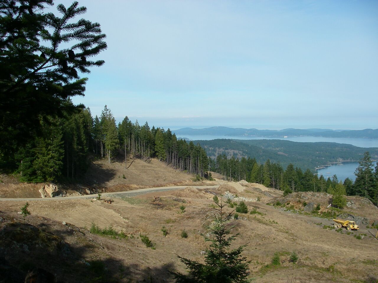
Our involvement with this Saltspring project dates back to before 2000 as Brent was heavily involved in the development of the neighbouring Mt. Tuam bareland strata. When the owner of the Skywater lands contracted us to investigate the feasibility of developing their lands, we were able to use our knowledge of the area and our experience in dealing with approving authorities to find solutions to the many challenges this development presented. In addition to providing development expertise, we also provided many traditional land survey services over the duration of this project. We found solutions to the legal and physical challenges of providing access to the entire site. Many hours were spent on site with the client identifying building locations and refining the lot design. We also worked with a Registered Professional Biologist to map sensitive wetlands, a geotechnical engineer to identify safe building sites and finally we completed a full legal land survey of this 223 hectare site.
Polaris was involved in many different aspects of this development on Yates Street. In the beginning we conducted a site survey and provided support for the design and construction of the building in downtown Victoria. This included preparation of a subdivision plan to consolidate the subject lands, a site survey and layout of construction control. As construction progressed we also prepared volumetric easement and right of way plans and provided control points for the placement of glass curtain walls and the construction of intricate floor tiles.
Polaris began supporting BC Housing on this re-development project in 2022 with a detailed topographic survey of the 6 hectare site and surrounding roads. The survey was completed through a combination of terrestrial laser scanning to measure the features near the ground, and airborne laser scanning (drone LiDAR) to measure higher elevation features, such as building roofs and tree tops. As the project moves in to the next levels of design, we are providing development consultation and legal surveys for subdivision.
In the summer and fall of 2024, Polaris completed a detailed topographic survey of the Legislature buildings, surrounding grounds, and adjacent roads. This data was obtained through 3D laser scanning (LiDAR) and GNSS observations. All road works were coordinated with a third party locate company and a traffic control company, so that underground utilities could accurately and safely be located. From the scan data we determined topographic features such as tree canopies and root crowns, ornamental structures like statues and totem poles, and details of the intricate brickwork on the buildings.
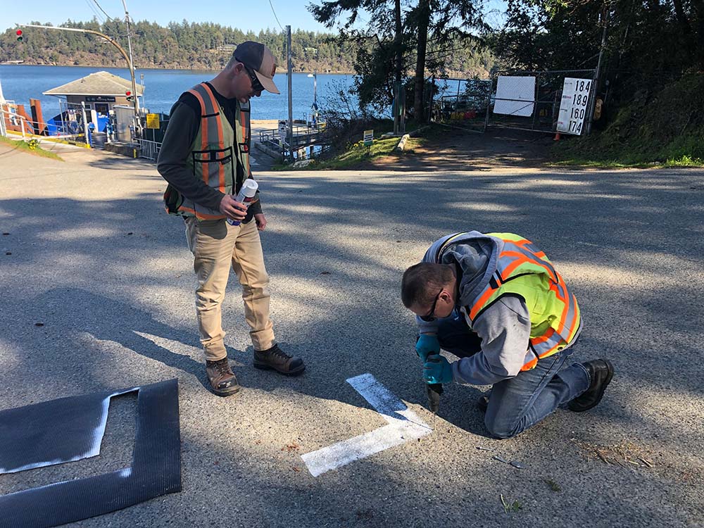
Polaris was contracted by the Capital Regional District to complete topographic surveys of 10 kilometers of public roads throughout parts of Pender, Galiano, and Saturna islands. The data was collected through a joint venture with Tronnes Geomatics, utilizing a mobile mapping laser scanner to quickly and safely map the roads. From the resultant point cloud, we extracted relevant features and generated ground models to support design of a new multi-use trail network.
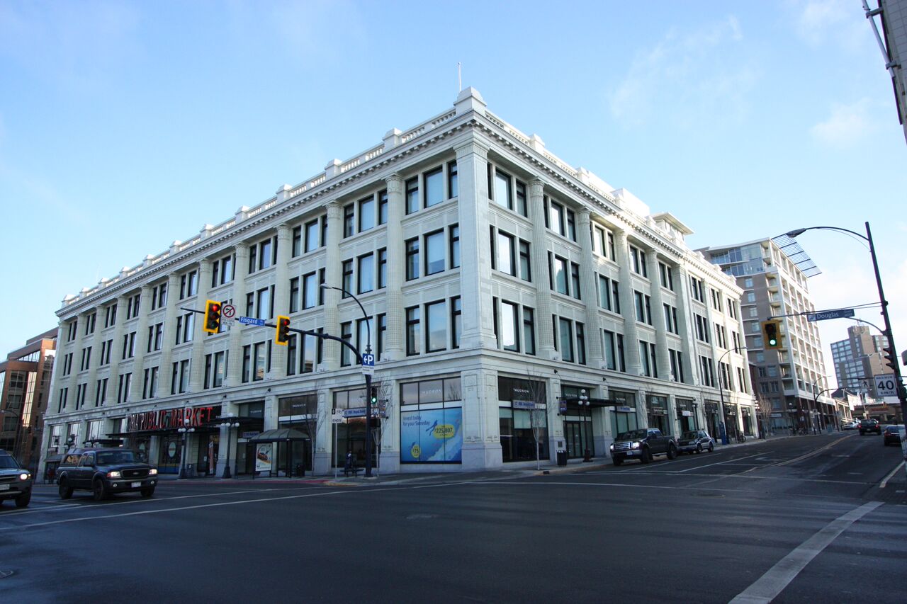
After the historic Hudson’s Bay building was purchased by Townline Properties, we joined the team responsible for renovating the building to create modern commercial and residential units. We measured the exterior and interior of the building in order to prepare an air space subdivision, which separated ownership for the commercial and residential areas. Within the residential area, we prepared a building conversion strata, creating 152 strata lots. Over the subsequent 16 years we provided support for the five new buildings that were constructed within the District. This included construction layout, air space subdivisions, strata plans, commercial BOMA lease plans, and unit measurements of rental apartments.