Surveying for BC’s New Small-Scale Multi-Unit Housing (SSMU) Legislation: Navigating the Challenges of Bill 44
British Columbia is currently undergoing a massive transformation in land use with the introduction of Bill 44. This legislation, focused on small-scale multi-unit housing, aims to address the housing crisis by allowing more density on lots traditionally reserved for single-family homes. It sounds like a good idea, right?
However, as the public debates suggest, this shift has created significant friction ranging from concerns about neighbourhood “monstrosities” to confusion over restrictive local bylaws.
At Polaris Land Surveying, we aren’t just boundary experts; we are problem solvers. We understand these pain points and provide the high-quality land surveying expertise necessary to turn legislative complexity into a successful development project.
Here is how a professional survey addresses the biggest concerns surrounding Bill 44.
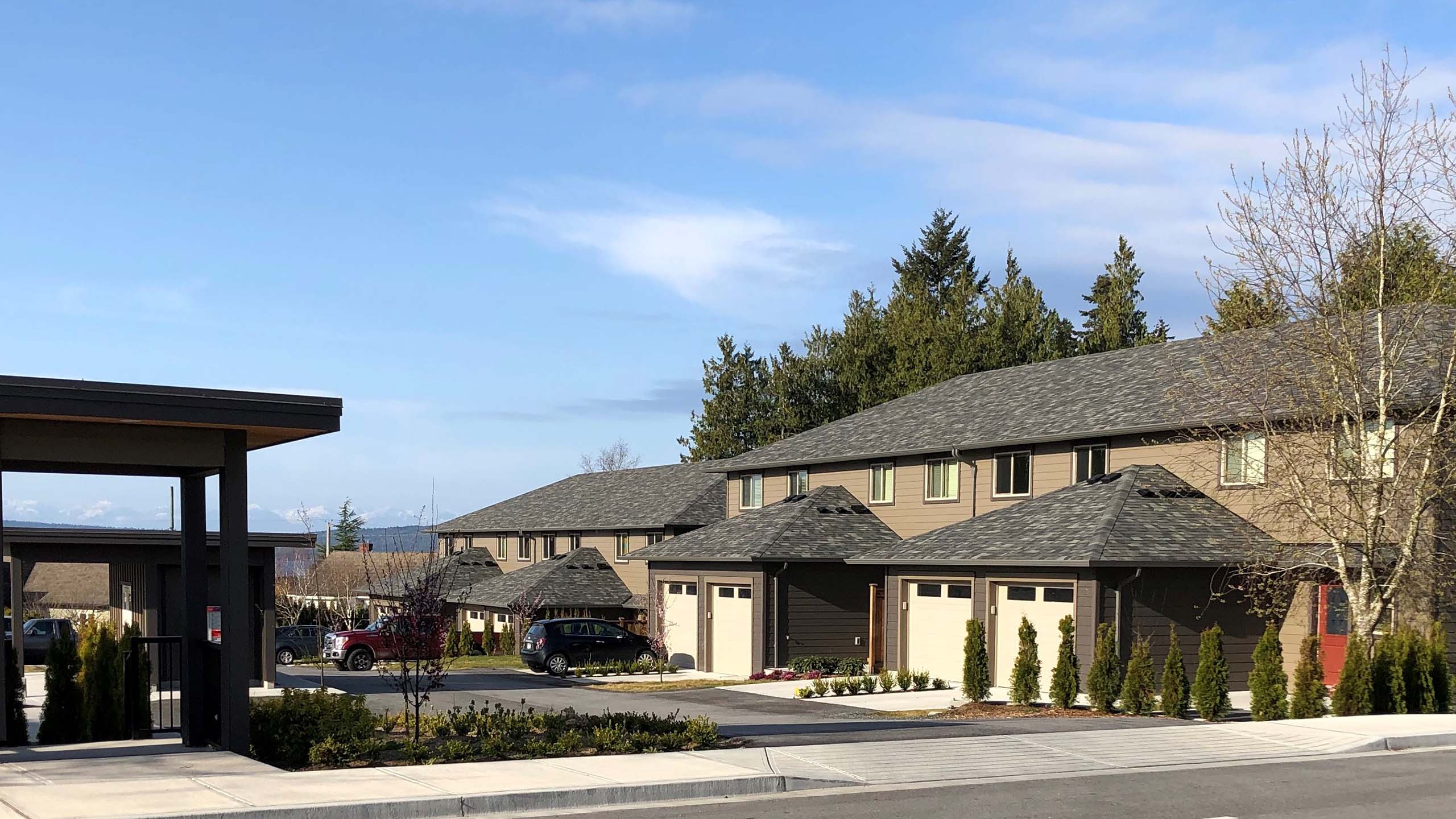
1. Addressing Neighbourhood Character and “Monstrosities”
One of the loudest complaints regarding the new housing rules is the fear that multi-unit builds will become neighbourhood “monstrosities” that ignore the local aesthetic. Residents are afraid that the neighbourhoods they grew up in and know like the back of their hand will turn into something unrecognizable. Polaris helps bridge this gap through our experience working with local government.
By conducting a detailed site survey, we identify the exact buildable area of your property, including height restrictions and zoning setbacks. The site survey is the foundation for your design and the permitting process. Identifying the buildable area and physical constraints of a site ensures that your project is not only legal but respects the physical characteristics of the neighbourhood. This helps new builds feel like an “evolution of housing” rather than an eyesore because they fit exactly where they belong.
2. Breaking Through the “Permit Wall” of Local Bylaws
Even with provincial mandates, many BC communities still have restrictive local bylaws that can stall a project. Homeowners often hit a “permit wall” when they realize their plans don’t align with specific municipal requirements in areas like Sidney or Oak Bay. Over in Coquitlam, a homeowner experienced several struggles with various bylaw requirements, causing much frustration and confusion.
Our team specializes in navigating these local hurdles so you don’t have to. If you are considering a small-scale multi-unit housing development or just adding a suite, we provide the technical data and guidance required to move your application through city hall without costly delays. This is part of what we do every day.
3. Clarifying Strata Confusion and Rental Restrictions
There is significant confusion regarding whether existing stratas can maintain single-family restrictions or how Bill 44 overrides older bylaws. Additionally, the removal of rental restriction bylaws has caused friction for some owners.
Polaris addresses this through intensive research at the Land Title and Survey Authority of BC (LTSA). We provide clarity on registered easements, rights-of-way, and legal boundaries, ensuring you have a clear picture of your property rights before you invest.
4. Ensuring Your Investment is Effective
Many skeptics wonder if these changes will truly “fix the housing crisis“. From a homeowner’s perspective, the best way to ensure effectiveness is to start with the right data. Garden suite survey requirements in BC (PDF download) are strict; assumptions or errors in property line location can lead to a total project shutdown.
By hiring a BCLS (British Columbia Land Surveyor) early, you ensure that every square foot of your property is utilized efficiently and legally, protecting your financial investment. All BC land surveyors from Polaris Land Surveying are registered with the Association of BC Land Surveyors.
Why a Survey is Your First Step Under Bill 44
If you are considering a multi-unit project on Vancouver Island or the Gulf Islands, ensure you have addressed these essentials:
- Determine Buildable Area: Use a professional survey to see exactly how many units your lot can legally support.
- Verify Local Setbacks: Don’t get stuck at city hall; ensure your plans meet specific Saanich or Oak Bay building requirements.
- Identify Encroachments: Confirm that your new small-scale multi-unit housing won’t cross over onto a neighbour’s land, preventing future boundary disputes.
- LTSA Research: Map out all registered easements or utility rights-of-way that could restrict construction.
- Professional BCLS Seal: Ensure all documents are certified by a licensed BC Land Surveyor to meet lender and municipal standards.
- Check out the BC Government’s FAQ on Bill 44 (PDF link)
Navigating the new housing rules doesn’t have to be a headache. Whether you are in Victoria, the Cowichan Valley, or Powell River, our team is ready to help. Contact Polaris Land Surveying today to get your project started on the right side of the property line.