My neighbour put a fence on my property: a guide to boundary disputes in BC
Discovering a neighbour’s fence on your property is often the start of a high-stress conflict. Whether you are in Victoria, Nanaimo, or Campbell River, these disputes trigger immediate questions about property value, privacy, and legal rights.
As BC Land Surveyors, we serve as a neutral, legal authority on boundary locations. Before you search for a property line dispute lawyer in Victoria or head to court, you need the technical facts. Here is how boundary disputes are handled across Vancouver Island.
Fence Disputes and Shared Property Lines
One of the biggest pain points is determining who pays for a shared fence. Legally, if a fence is built directly along the property line, the neighbours on either side are typically considered equal partners and generally share the cost of building and repairs.
However, a neighbour cannot simply “impose” a shared fence on you; you must agree on the type and cost beforehand. If your neighbour builds a fence without your consent, they should place it entirely on their side of the property line to avoid a trespass claim.
Navigating Municipal Bylaws Across the Island
Bylaws change significantly depending on where you live. A fence that is legal in the Comox Valley might be a violation in Nanaimo.
- Victoria & Duncan: Residential fences are generally capped at 1.2m (4ft) in front yards and 2.0m (approx. 6.5ft) in rear or side yards. Duncan specifically prohibits barbed or razor wire on residential fences.
- Nanaimo: You have more height flexibility in the back, with a maximum of 2.4m (approx. 8ft) for side and rear yards, but only 1.2m in front yards.
- Campbell River: The limit is 1.8m for most residential fences, dropping to 1.2m if the fence is within 5m of the front property line.
- Comox Valley: In these electoral areas, fences can be up to 2.0m when abutting a road and 2.3m for other side or rear lines.
Do you need a permit? Most municipalities, including Nanaimo and Campbell River, do not require a building permit for a standard fence. However, you will almost always need one for a retaining wall over 1.2m or 4ft.
Sources:
- Nanaimo Fence Height and Permits
- Comox Valley Land Use Regulations
- Duncan Zoning Standards (PDF)
- Campbell River Building Permit Information
What Governs Property Lines in BC
If you are wondering how to prove property lines in BC, you shouldn’t rely on old wooden stakes or “common knowledge”. A professional surveyor identifies the property line using a strict hierarchy of evidence:
- Natural boundaries (like the shoreline).
- Original monuments (iron pins or “survey monuments” placed in the ground).
- Evidence of occupation (how the land has historically been used).
- Measurements from the original plan.
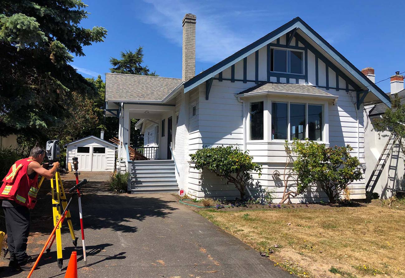
When establishing property lines, we rely on the hierarchy of evidence and when lot corners are not represented by survey monuments, we typically place new monuments at the lot corners. As part of this process, a Posting Plan is prepared. This plan is a statutory obligation we must fulfill whenever we replace a missing survey post. The posting plan is filed with the Land Title and Survey Authority and serves as a means of updating the public record as to the location of survey posts found and placed during the course of our work. It also provides the homeowner with a modern record of their lot corners.
Trespass Laws regarding BC Property Lines
If a neighbor’s fence, driveway, or retaining wall is found to be on your land, it is considered an encroachment. We encourage landowners to work together to resolve conflicts. While you can sue for trespass, BC courts prefer to resolve these through the Property Law Act. A judge can choose one of three paths:
- Order Removal: Force the neighbor to dismantle the encroaching portion.
- Grant an Easement: Allow the encroachment to stay, but the neighbor must pay you compensation for the use of your land.
- Transfer Title: Force a sale of that small strip of land to the neighbor at a fair market price.
Courts generally order removal only if the neighbor deliberately built on your land; for accidental, minor errors, they may prefer an easement.
In many cases, a Surveyor’s Certificate or Location Certificate is used to show exactly where these structures sit relative to those lines.
Beyond the Fence: Drainage and Damage
Boundary disputes often escalate over drainage and maintenance negligence. If a neighbour’s property is causing flooding on yours, or if falling tree limbs cause damage, liability often depends on exactly where the “source” sits.
In BC, you have the right to trim overhanging branches or roots up to your property line, but you cannot enter your neighbour’s property or damage the tree’s health. A survey will confirm whether that nuisance tree is on your property or your neighbour’s. We advise seeking legal advice before taking action.
Resolve Your Dispute with Polaris Land Surveying
Don’t let a persistent hostility with a neighbour ruin your peace of mind. Whether you are dealing with a subdivision project, a weaponized bylaw call, or a fence that seems a few inches too close, the first step is always the same: get the facts.
A survey completed by a BC Land Surveyor is the most effective way to understand the issue and is the first step towards settling a boundary dispute in Victoria, Nanaimo, or anywhere else on Vancouver Island before it becomes a costly legal battle.
Protect your property. End the guesswork.
Schedule a call with the Polaris Land Surveying team today.