 ris
How Drone Mapping (UAV Surveying) Speeds Up Large-Scale Land Development in Port Alberni
As real estate, industrial development, and housing demands grow across Vancouver Island, Port Alberni has emerged as one of the region’s most strategic expansion hubs. Situated at the heart of the Alberni Valley, the area offers vast tracts of land, but its complex geography presents distinct challenges for planners and developers.
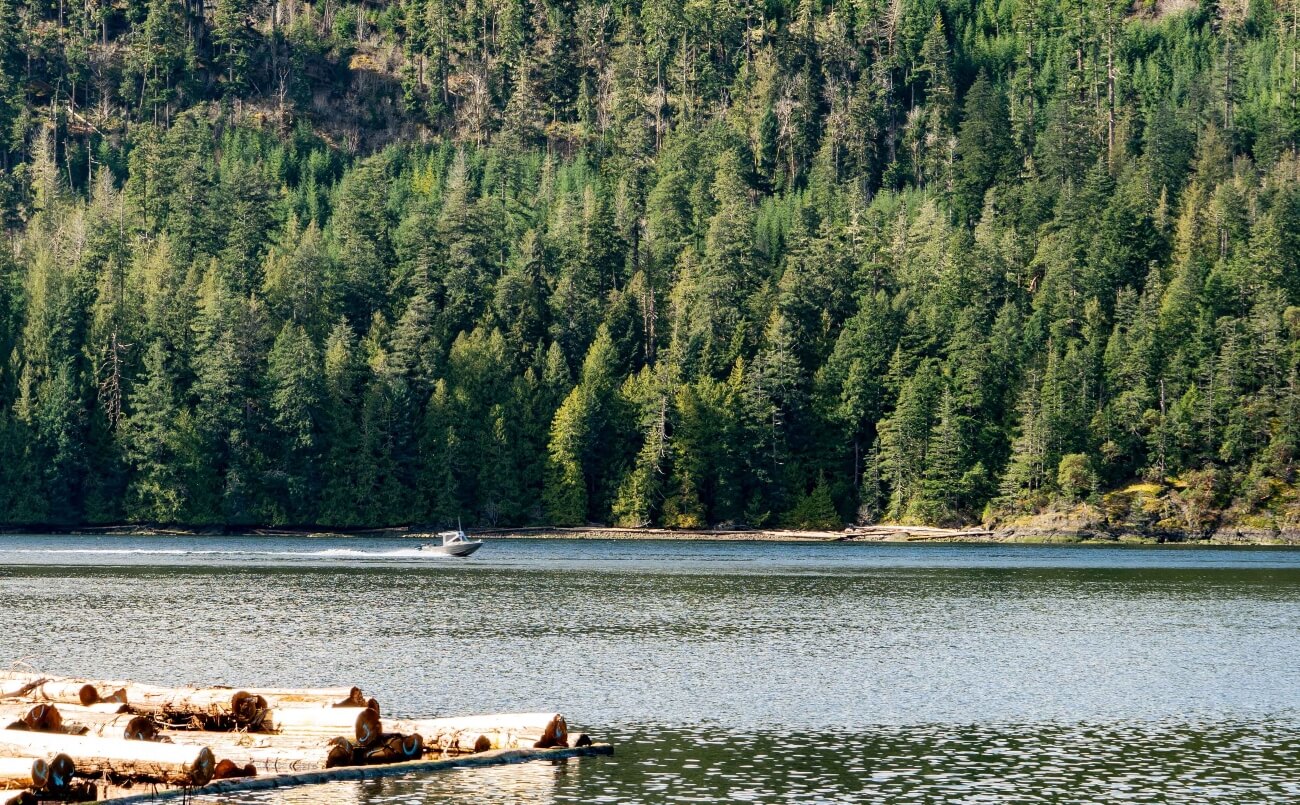
Port Alberni’s landscape is defined by its dramatic contrast: nestled in a deep mountain valley, it sits at the head of a 40-kilometer ocean inlet that connects directly to Barkley Sound and the Pacific Ocean. The region is bordered by the rugged Beaufort Range, carved by freshwater lakes like Sproat Lake and Cameron Lake, and covered in dense forest. Mount Arrowsmith can be viewed from almost any kitchen window.
Adding another layer of complexity is Port Alberni’s history as a major forestry and logging hub. Decades of industrial activity left behind a sprawling network of decommissioned logging roads, overgrown rail grades (like the historic Log Train Trail), and informal recreational trail systems woven into undeveloped forest land.
For developers, local government planners, and civil engineers planning a Port Alberni land subdivision or large-scale development, surveying these vast, uneven parcels manually can take weeks. Deploying drone surveying on Vancouver Island provides the speed and data precision needed to navigate the valley’s complex terrain efficiently.
Drone Photogrammetry vs. Traditional Surveying
Conducting traditional ground surveys across heavy bush, old-growth remnants, and steep valley slopes requires field crews to physically traverse lot lines, taking individual point measurements. While necessary for determining property lines, relying solely on ground crews for initial master planning on 20, 50, or 100+ acre parcels is time-consuming and expensive.
| Feature | Traditional Ground Survey | Drone Mapping (UAV Photogrammetry) |
| Coverage Speed | 2 – 5 acres per day | 50+ acres per day |
| Data Output | 2D line drawings & isolated spot points | High-res 3D point cloud, mesh & orthophoto |
| Overgrown/Slope Access | High manual effort & labor risk | Fast aerial coverage over steep/dense terrain |
| Best Use Case | Re-establishing existing property boundaries, creating new boundaries | Initial site planning, contours, volume tracking |
By combining Unmanned Aerial Vehicle (UAV) photogrammetry and LiDAR with ground-based Real-Time Kinematic (RTK) positioning, surveyors can capture millions of elevation data points in a single flight, converting raw land data into engineering-grade digital site models in days rather than weeks. For a place like Port Alberni, it just makes sense.
3 Ways Aerial Mapping Streamlines Development in the Alberni Valley
1. Mapping Heavy Canopy & Old Logging Infrastructure with Aerial LiDAR
Because Port Alberni’s undeveloped parcels are frequently crisscrossed by dense tree canopy, secondary growth, and hidden legacy logging roads, standard aerial photogrammetry can struggle to see the ground below.
Using aerial LiDAR land mapping, airborne lasers penetrate through thick tree cover to record the true ground topography below. This allows surveyors to map hidden grade changes, locate abandoned logging spurs, identify existing recreational trail corridors, and build an accurate Digital Terrain Model (DTM) long before clearing crews arrive.
2. Streamlining Municipal Approvals & Environmental Planning
With Port Alberni’s proximity to freshwater lakes, salmon-bearing streams like the Somass River, and marine foreshore along the Alberni Inlet, municipal and regional planners require detailed large-scale site plans before approving new developments. UAV survey datasets produce:
- Centimeter-accurate orthomosaic aerial maps.
- Detailed 3D ground models showing natural drainage paths.
- Cut-and-fill earthwork volume calculations for site grading.
Having precise UAV derived datasets early in the development application process minimizes delays with city planners, reduces back-and-forth review cycles, and ensures environmental setbacks from water bodies are respected from day one.
3. Site Volume Tracking and Earthwork Verification
Drone mapping continues to add value once construction begins. For civil contractors preparing large commercial sites or new residential subdivisions, repeat drone flights make it easy to measure gravel stockpile volumes, verify site grading progress, and monitor cut-and-fill operations safely from above.
Bringing High-Tech Mapping to Your Port Alberni Project
While drone mapping delivers massive site datasets quickly, converting those data points into survey-grade legal plans still requires the oversight of a licensed British Columbia Land Surveyor (BCLS).
At Polaris Land Surveying, we combine advanced aerial reality capture with deep local land surveying expertise across Port Alberni and Vancouver Island. Whether you are assessing a former forestry parcel, designing a residential subdivision, or planning industrial infrastructure along the inlet, aerial mapping delivers the clarity and speed your project needs to move forward with confidence.
If you are in Port Alberni, please contact your local land surveyor for assistance. Or, if you are elsewhere on Vancouver Island and are interested in Drone Mapping, please contact the land surveyor nearest to your location for dispatch.