
Southern Gulf Island Regional Trails
Southern Gulf Island Regional Trails
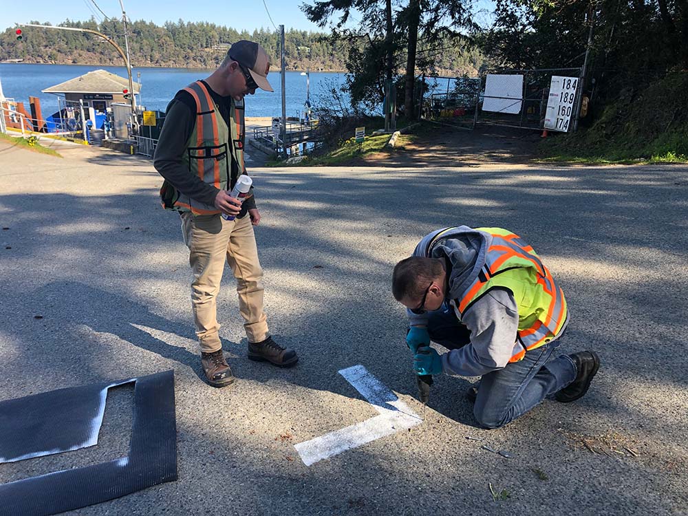
Pender Island, Saturna Island, Galiano Island
Start a Project
Interested in getting more information about a potential job?
Contact one of our workers in the region closest to you.
Interested in getting more information about a potential job?
Contact one of our workers in the region closest to you.