
Sooke, BC
Phillips Road – Subdivision + Boundary retracement
Phillips Road – Subdivision + Boundary retracement
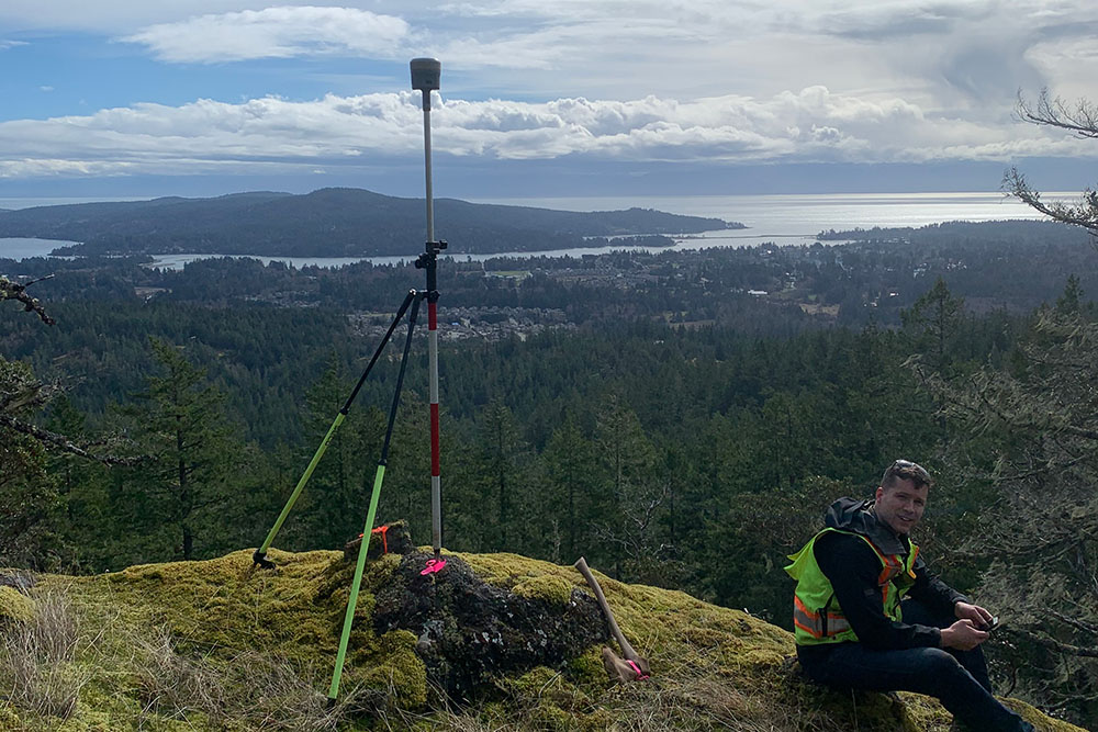
Assisted in both general boundary retracement for the entire area, and for individual lots in the new subdivision.
Boundary retracement survey of a large area through rugged terrain that consisted of GNSS and conventional survey, searches for original section evidence and complex boundary resolution. Polaris also assisted with subdivision process and new lot layout.
Start a Project
Interested in getting more information about a potential job?
Contact one of our workers in the region closest to you.
Interested in getting more information about a potential job?
Contact one of our workers in the region closest to you.