
Pender Island, Saturna Island, Galiano Island (Southern Gulf Islands)
Southern Gulf Island Regional Trails
Southern Gulf Island Regional Trails
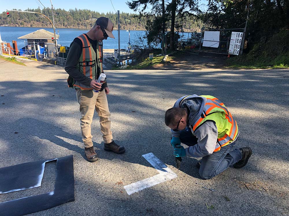
Polaris was contracted by the Capital Regional District to complete topographic surveys of 10 kilometers of public roads throughout parts of Pender, Galiano, and Saturna islands. The data was collected through a joint venture with Tronnes Geomatics, utilizing a mobile mapping laser scanner to quickly and safely map the roads. From the resultant point cloud, we extracted relevant features and generated ground models to support design of a new multi-use trail network.
Start a Project
Interested in getting more information about a potential job?
Contact one of our workers in the region closest to you.
Interested in getting more information about a potential job?
Contact one of our workers in the region closest to you.