


3D Laser Scanning
We utilize terrestrial and hand-held laser scanners to create point clouds. These rich datasets comprise millions of points, which represent the real world at an instant in time.
A 3D scan is useful to augment a traditional topographic or as-built survey, solve specific queries such as assessing the flatness of a floor, and can be used to generate Revit models. These models integrate with Building Information Management (BIM) software. These scanners measure thousands of points per second, allowing for rapid collection of information.
LiDAR
LiDAR (Light Detection and Ranging) involves laser pulses to create detailed 3D models of the land.
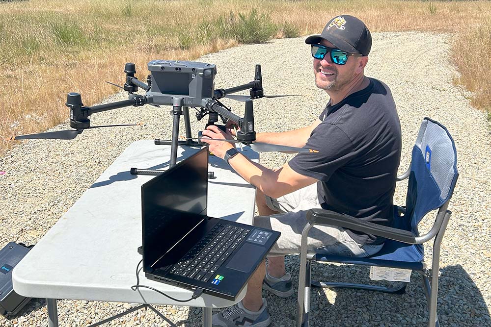
This is a non-invasive technology best suited for difficult to access terrains, or densely forested areas. Our team utilizes LiDAR because it is efficient, accurate, and versatile. It is particularly useful for surface modelling and aiding in infrastructure and site planning. Our LiDAR sensor is mounted to our UAV (drone) and flown by a certified pilot.

Photogrammetry
Photogrammetry is a cost-efficient option to create a 3D model utilizing 2D photographs.
This method is utilized in many ways including construction planning, project monitoring, calculating excavation volume, identifying existing structures, and more. This method is accurate, time-efficient, and versatile. Photogrammetry is complementary to LiDAR, as the photos can be stitched together to generate a high resolution orthomosaic, providing a detailed image of a site. Like LiDAR, we complete photogrammetry surveys using our UAV.
Contact Our Team
Polaris Land Surveying’s experts are available to discuss a new project or to answer questions about our existing services.