Rural land surveying within the Southern Gulf Islands


Gulf Islands land surveying
 Subdivisions
Subdivision plans are a critical component of subdivision development.
Plans are the result of thorough surveys, negotiations with approving authorities and consultations with neighbours. With decades of experience, our experts at Polaris to assist you in navigating the subdivision plan process. Polaris will carry out subdivision surveys on the Gulf Islands to establish new land parcel boundaries and associated titles. Contact our team today for your next subdivision project.
Building and bare land
strata projects
strata projects
Constructing a strata development on Salt Spring or the Gulf Islands? Polaris Land Surveying handles both condominium and bare land strata projects.
Developers creating a title to more than one unit in a residential or commercial building require a condominium survey under BC’s Strata Property Act. Polaris holds extensive knowledge of statutory and non-statutory municipal planning requirements, as well as the Land Title Office’s current policies governing strata subdivisions.
Boundary retracement and
re-establishment surveys
re-establishment surveys
Are you adding an addition to your house or backyard in the Gulf Islands? Building a fence, landscaping a garden, or constructing a new property entirely?
It is important to understand where boundary lines lie. Polaris handles boundary retracement or re-establishment surveys in Salt Spring and the Gulf Islands. Our professionals research property records, study the title of the property and adjoining properties and evaluate previous surveys in order to define a proper description and determine land boundaries. Surveys are electronically filed in the land title office for access by the owner, neighbours and other land surveyors.
Topographic and site plans
If you are assessing land for development on Salt Spring, a topographic survey is critical to informed building planning.
Topographic surveys outline both natural elements and man-made structures on your property, providing information on how the land will need to be shaped and identifying areas where construction may not be possible. Polaris conducts accurate, reliable topographic surveys.
Construction layout surveys
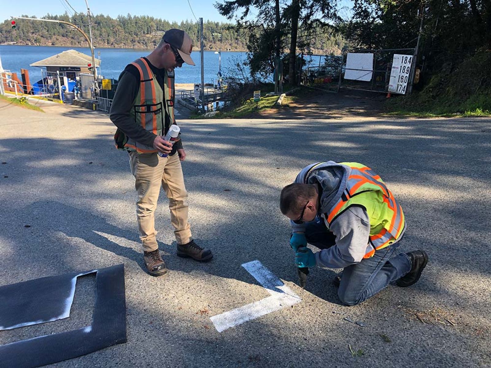
Are you developing a new project on Salt Spring or Gulf Islands land? Precise construction surveys are a critical component of any construction project.
Let Polaris ensure your building is located according to requirements before construction. Our construction surveys will outline new building elevations and exact layouts of grid and wall lines relative to its property lines. Our team uses modern field equipment and technology to provide your construction layout survey with expert precision.
British Columbia land surveyors
location certificates
location certificates
Buying a house on Salt Spring or any of the Gulf Islands? Building Location Certificates, or mortgage certificates, are house location plans often required by banks as part of financing agreements or by the Building Inspection Office as part of a building permit.
If your bank or Building Inspector requests a BLC, you will be required to provide a plan outlining the lot, any existing structures and rights-of-way on the property, including encroachments on or off the lot. Our team of experts researches existing plans to effectively establish property lines and outline structures. Contact our Salt Spring team today for your Location Certificate.